Mobile Application
Map View Experience
The Map View Experience provides a direct and visual way to monitor the live positions of your GSatSolar and GSatRancher assets within the GSatSolar mobile application. This feature is invaluable for quickly locating your devices, checking their real-time status, and gaining an immediate overview of your entire fleet's activity.
Getting Started
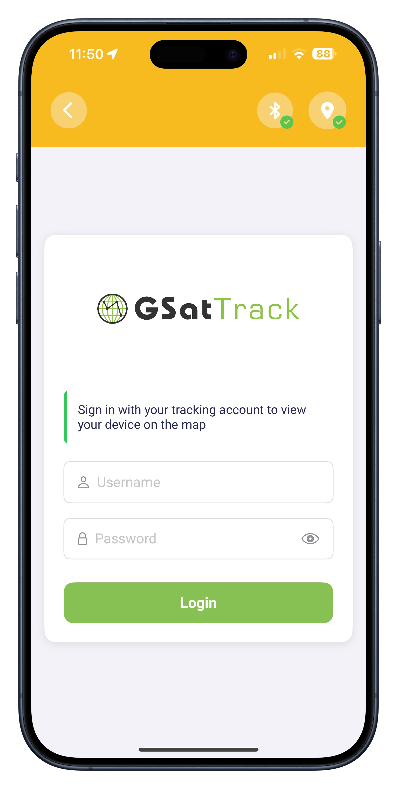
Access Map View: From the Home Screen, tap on "Map View". The app will navigate to the Map View login screen.
Sign In: You will need to sign in with your GSatTrack tracking account to view your devices on the map.
Note!
Key Features
Automatic Data Refresh: Asset data on the map now refreshes automatically every 1 minute to ensure you have the latest positional information.
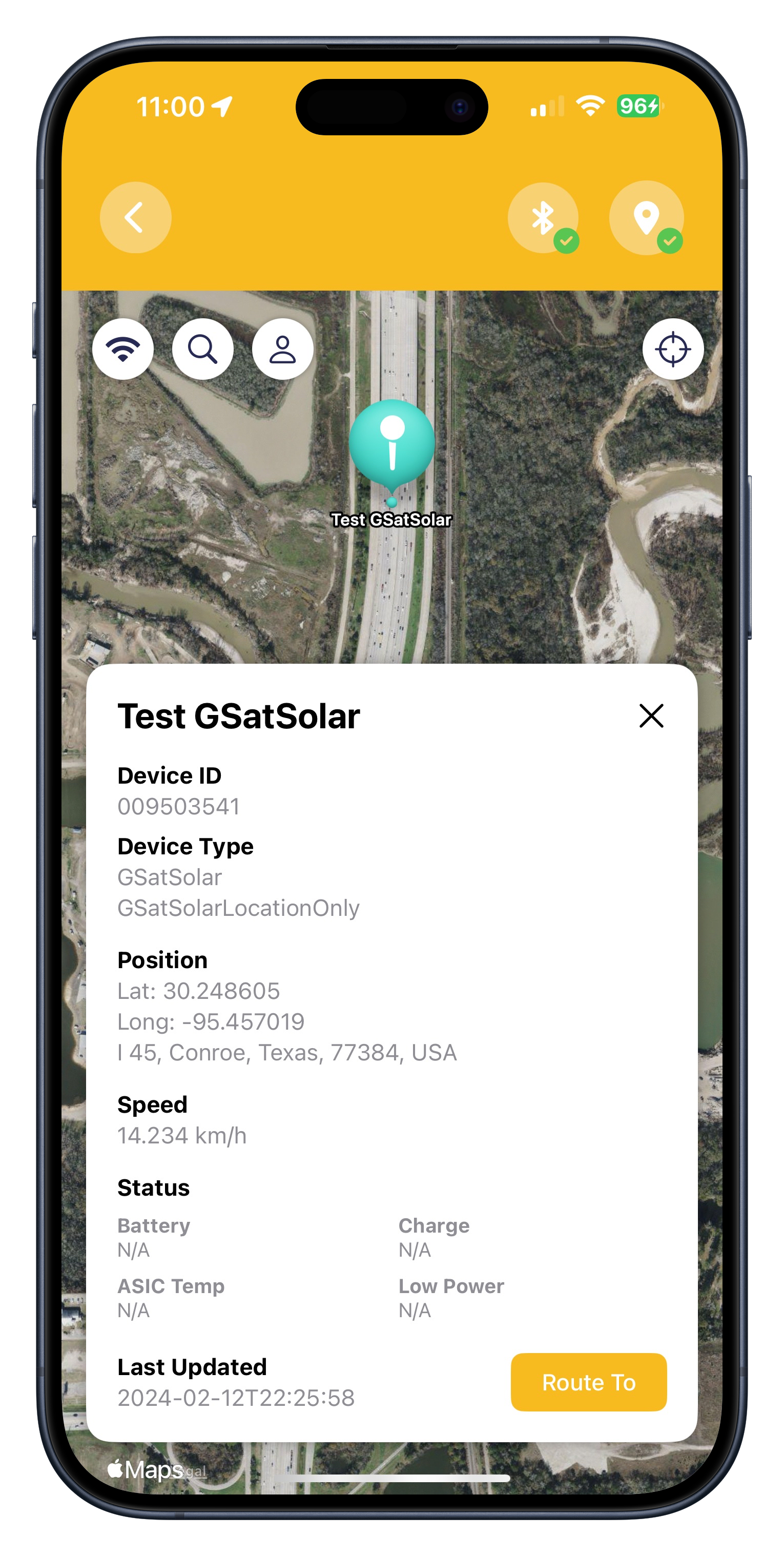
Detailed Asset Information: Tapping on a device marker on the map now reveals a detail view including:
- Device ID
- Device Type
- Latest Position Data
- Speed
- Status (Battery, Charge Mode, ASIC Temp, Low Power)
Last Updated Position Time
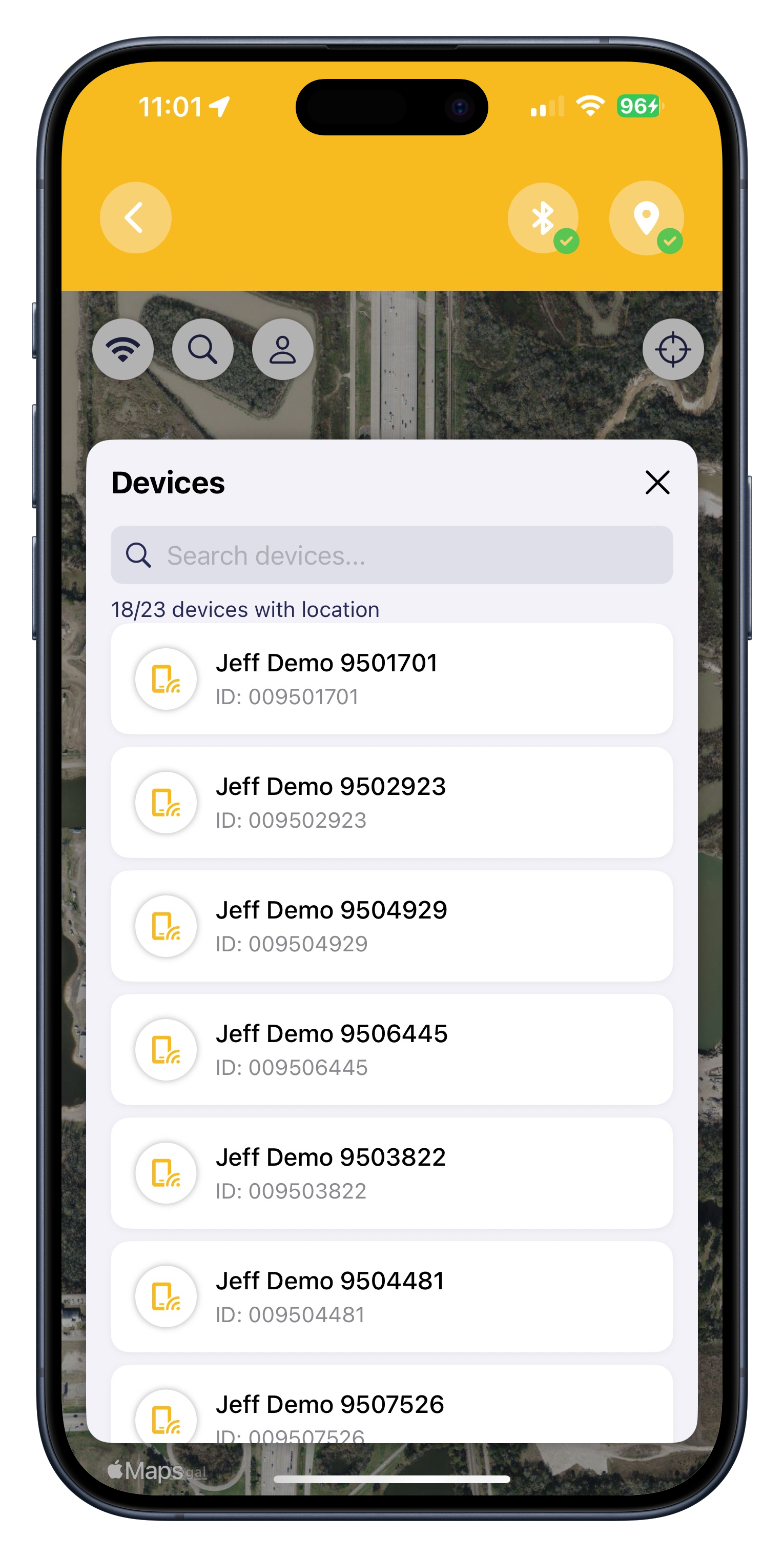
Device Search: Easily search through your list of devices to quickly locate and center the map on a specific asset and view its associated data. Rancher devices are labeled with a Cow icon and GSatSolar devices are labeled as a Mobile icon. Device search will also notify you if your device has no positional data.
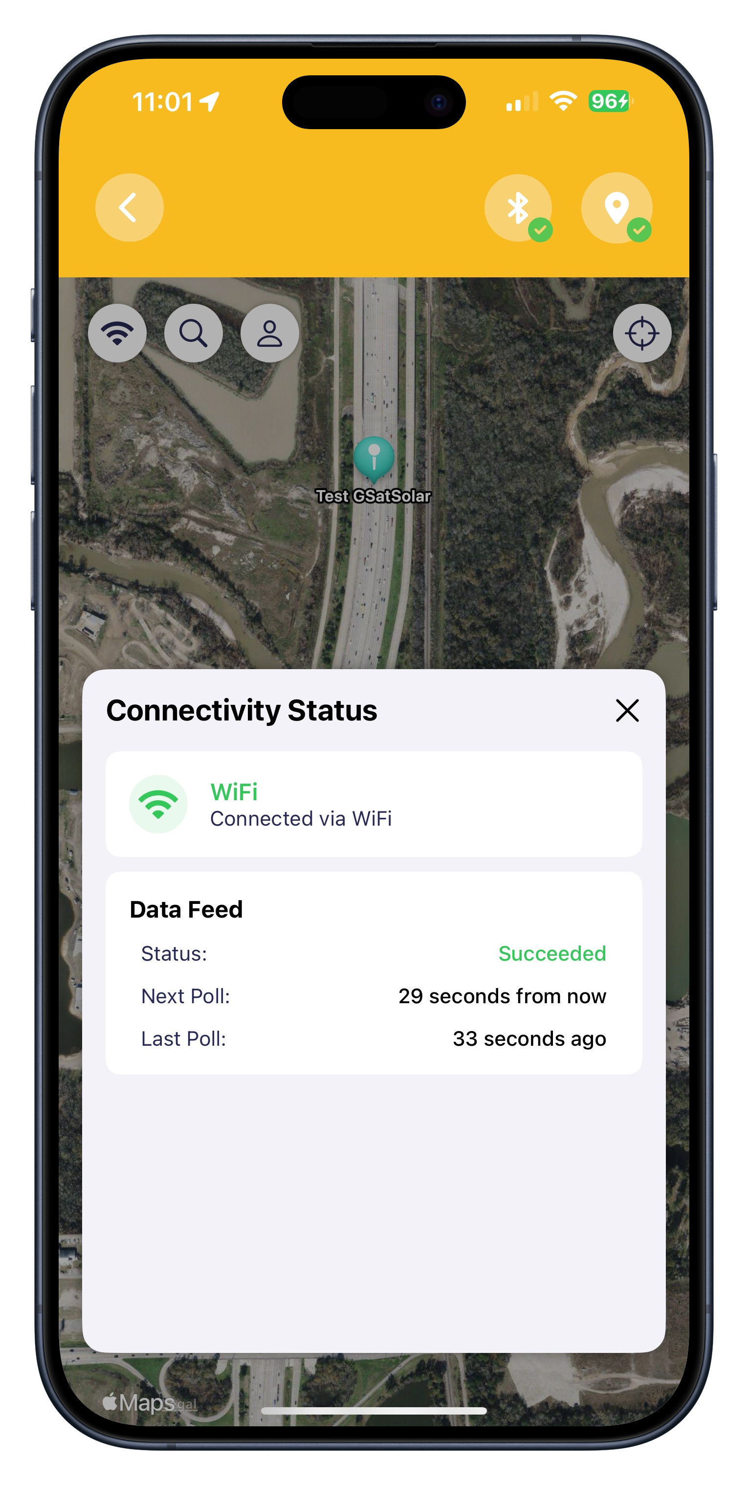
- Connectivity Status Display: A new dedicated button on the map screen allows you to instantly view the current network connectivity status (Wi-Fi, Cellular, Offline), data feed status (e.g., Succeeded, Failed), and details about the last and next scheduled data poll.
- Recenter Map to Current Location: A location button allows you to quickly recenter the map view to your device's current GPS location.
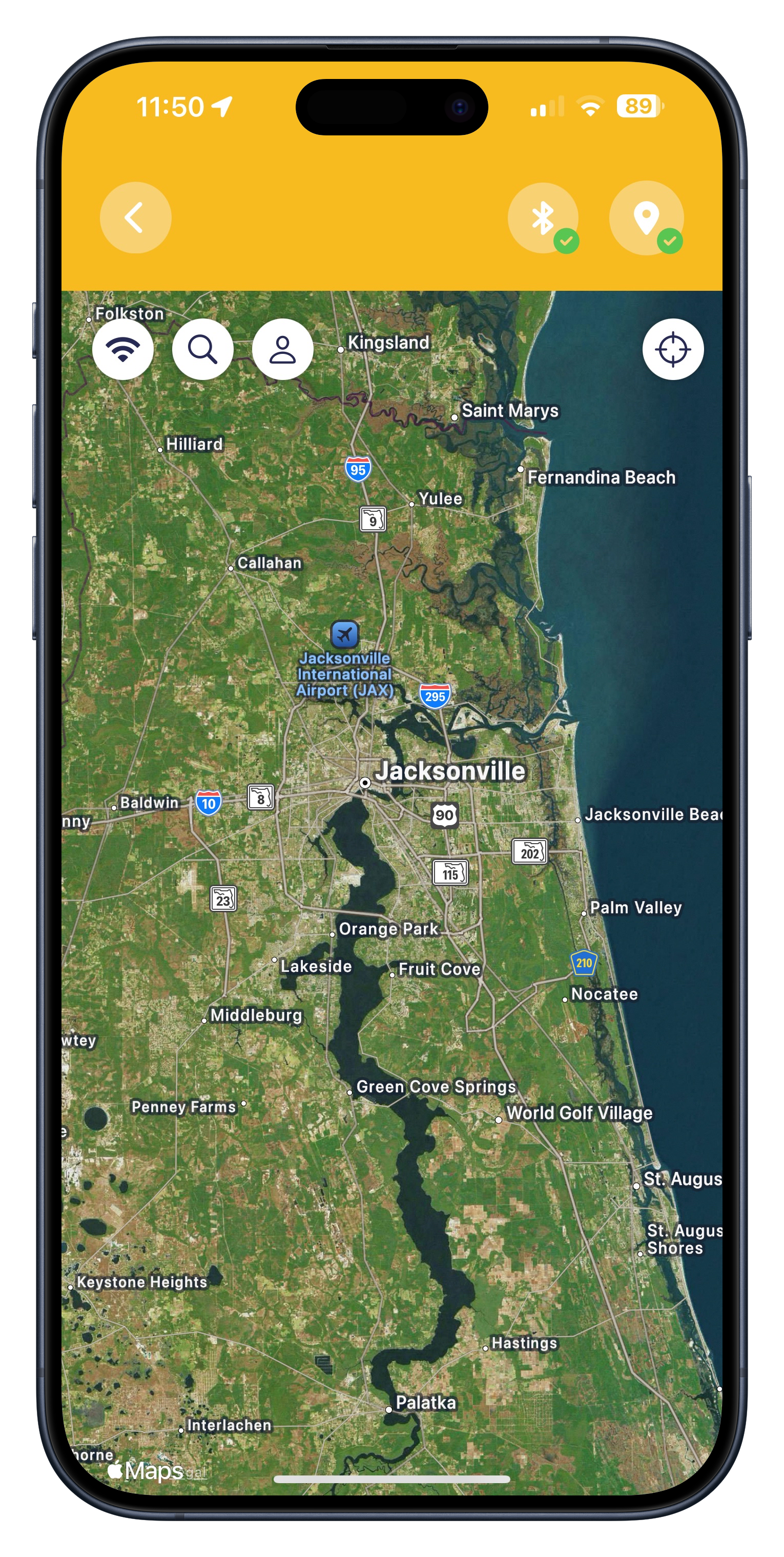
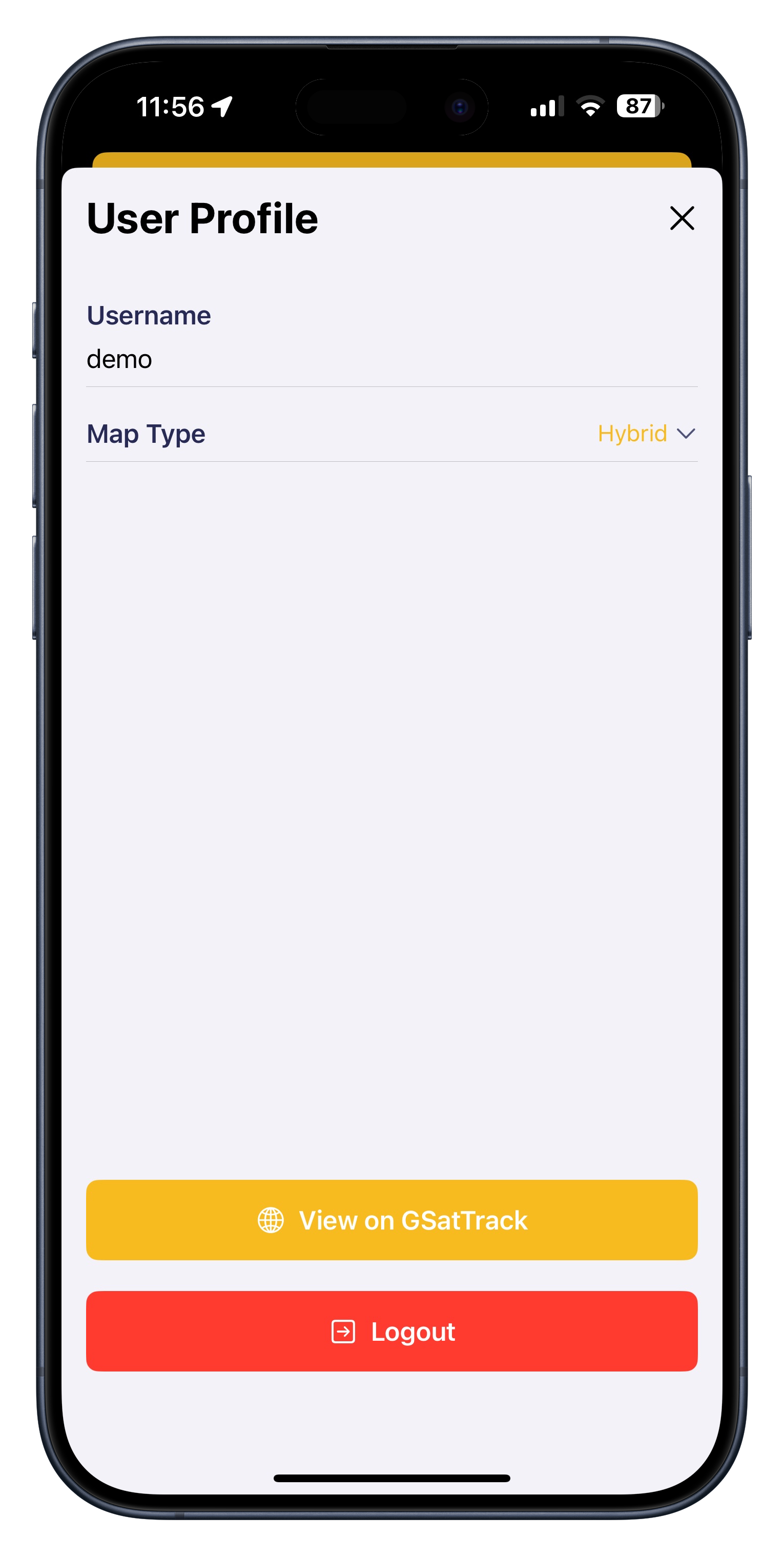
- User Profile: This is where you can manage your map type preferences and access your GSatTrack account in a web browser, allowing you to utilize the full web application.
